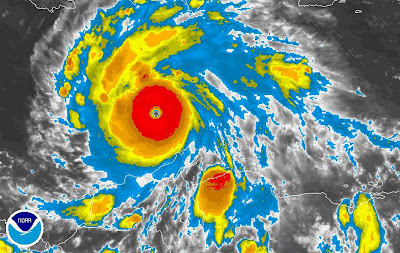
An infrared aerial photo depicts changes to the environment, the health of forests, wetlands, bays and oceans, monitors damage to roofs, tracks dairy farm out flows, and pinpoints and monitors infestations and pollution. The photo above shows changes in weather patterns similar to cartographic animations. This is Hurricane Felix in September 2007.


No comments:
Post a Comment