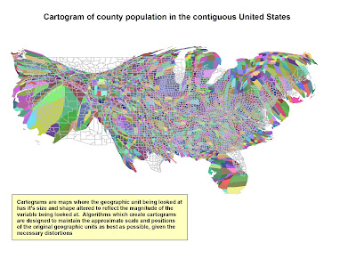
 Cartograms are thematic maps that tell a geographic story about a location. Cartograms are not drawn to scale, but drawn in proportion to the particular information they are trying to depict. For example, the map above shows county by county population in the
 Saturday, May 31, 2008
Cartograms
 Cartograms are thematic maps that tell a geographic story about a location. Cartograms are not drawn to scale, but drawn in proportion to the particular information they are trying to depict. For example, the map above shows county by county population in the
Subscribe to:
Post Comments (Atom)


No comments:
Post a Comment