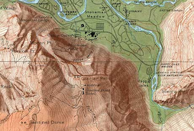
Hypsometric maps are a form of topographical maps that represent relief with the use of color. The USGS (United States Geological Survey) produced limited numbers of topographic maps with shaded relief. The map of
List of different types of Maps

Hypsometric maps are a form of topographical maps that represent relief with the use of color. The USGS (United States Geological Survey) produced limited numbers of topographic maps with shaded relief. The map of
No comments:
Post a Comment