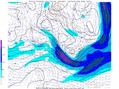
Isotachs are lines of equal wind speed drawn on weather maps. They are helpful in finding maxima and minima in the wind pattern. Minima in the wind pattern aloft are favorable for tropical cyclogenesis. Maximum in the wind pattern at various levels of the atmosphere show locations of jet streams. The map above is an example of isotachs.


No comments:
Post a Comment