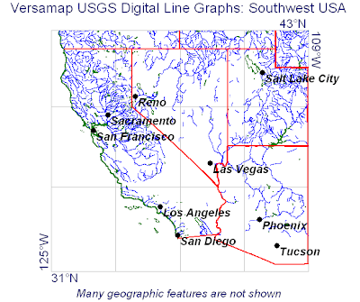
Digital Line Graph (DLGs) are digital vector representations of cartographic information derived from USGS maps and related sources. The USGS produces three primary types of DLG data: Large-Scale (7.5-minute) DLGs correspond to the USGS 1:20,000-, 1:24,000-, and 1:25,000-scale topographic quadrangle maps. They are primarily cast to the Universal Transverse Mercator (UTM) projection system, but some are cast to the State Plane coordinate system. They are referenced to either the North American Datum (NAD) of 1927 (NAD27) or the NAD of 1983 (NAD83). Above, the map of the


No comments:
Post a Comment