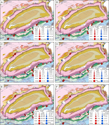
In range-graded proportional circle maps the data is divided into groups using classification procedures common to choropleth mapping. The design goal is for symbol size discrimination, rather than magnitude estimation. The cartographer chooses symbol sizes for adjacent classes so that the map reader can easily distinguish between circle sizes, and therefore, categories. This map shows the abundance of various ore deposits in the area depicted.


No comments:
Post a Comment